Discipline / 01
Geospatial
Field measurement, spatial analysis, and the software that connects them.
From the ground up.
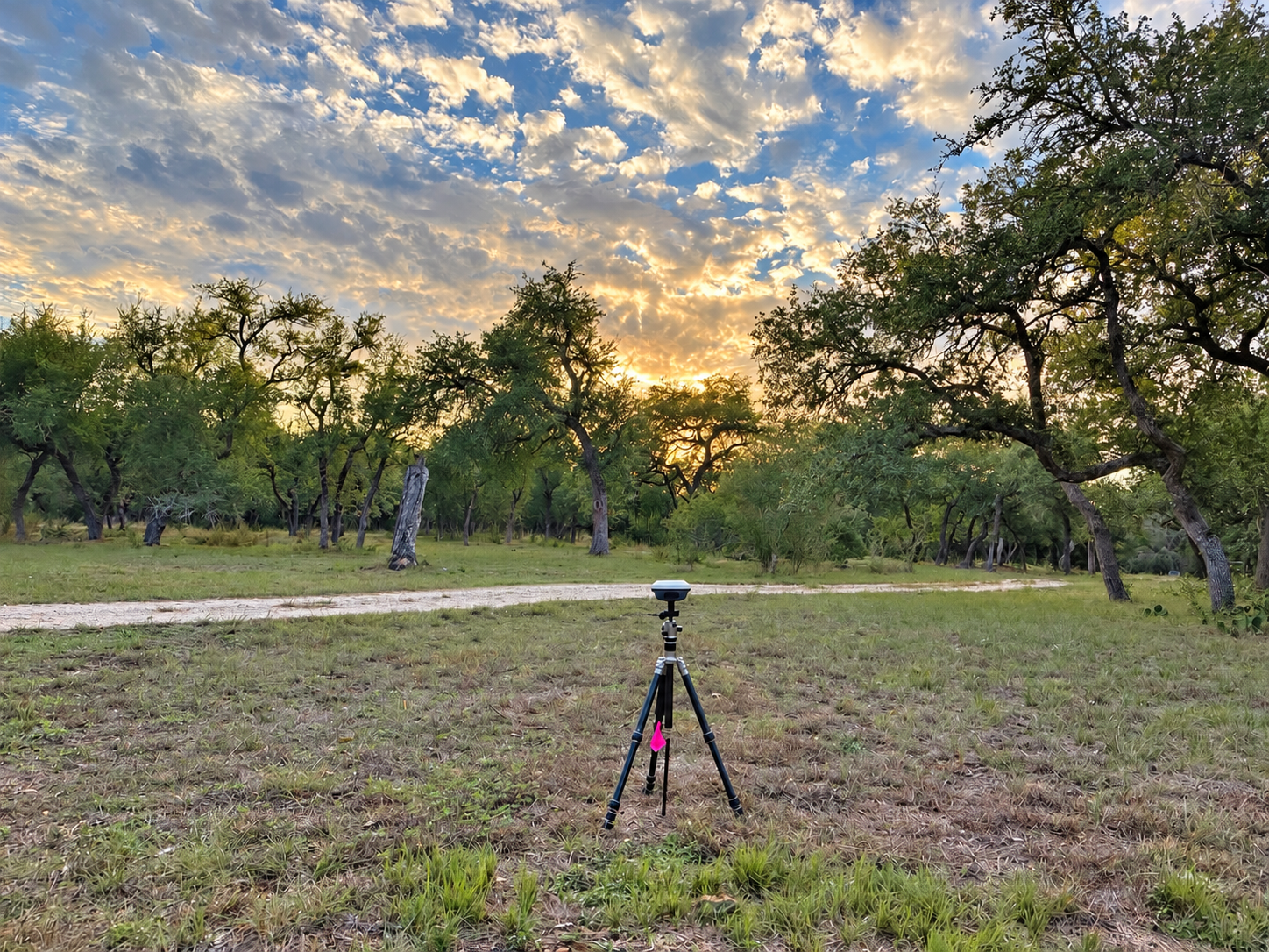
WFR combines GIS and spatial data engineering with GNSS/RTK field measurement and photogrammetry. Work spans QGIS and ArcGIS, custom processing workflows, spatial data integration, automation, and QA/QC.
Aerial imagery, terrain models, and field observations are brought together in documented workflows, with positioning quality and independent checks kept in view.
WFR welcomes collaboration on interesting projects and subcontracted technical work with a defined scope. Get in touch ↗︎