CASE STUDY:
Site Preparation
Precision Measurement, Photogrammetry, and QA/QC
A fresh replat of a larger Texas Hill Country ranch provides a test bed for modern geomatics tools and techniques.
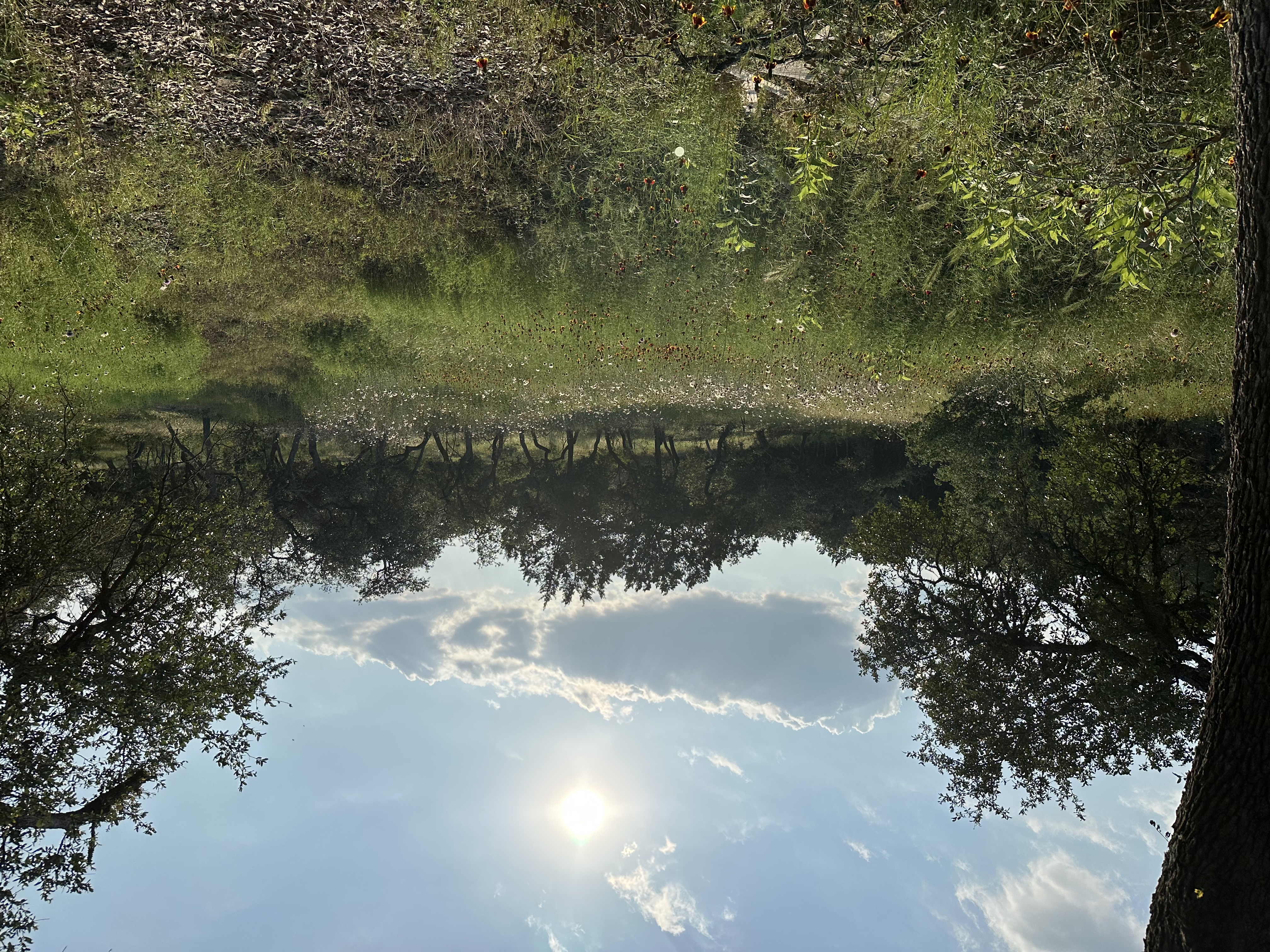
We will begin with intentionally imperfect measurements, represent the property digitally in several ways, then return with precision instruments to correct what we built. The ultimate objective is to assess drainage and a future homesite, including access through the right-of-way easement.
STAGE 01 / COARSE MEASUREMENT GIS
Intentionally Imperfect
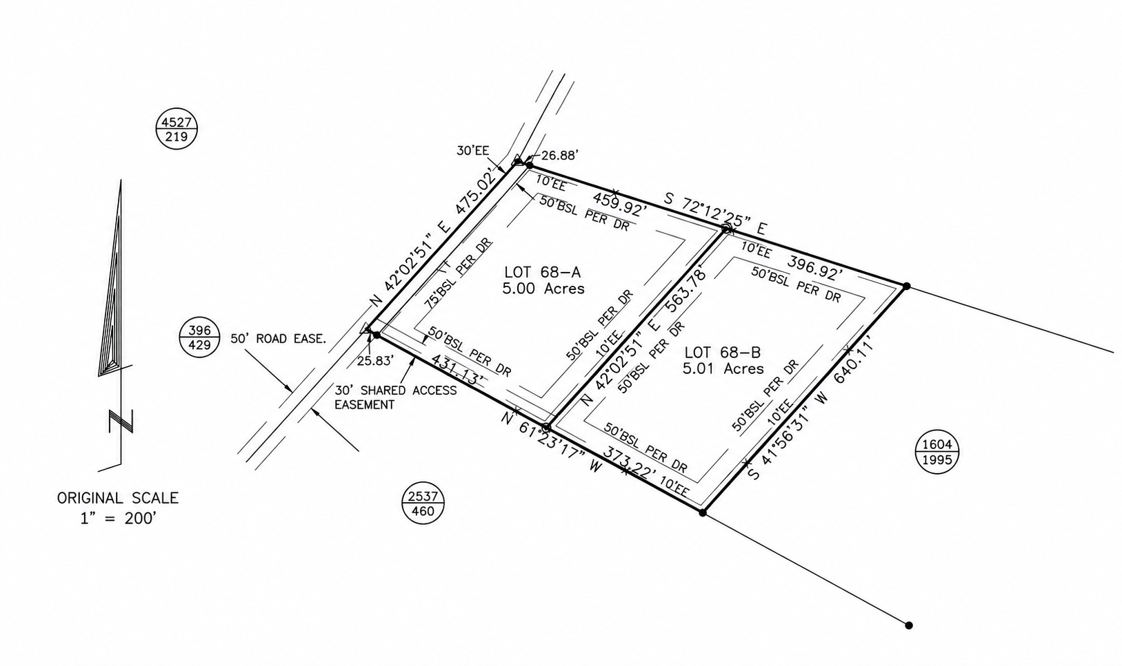
Walk the five-acre property and ROW access easement with a commercial handheld GPS. These deliberately coarse positions, accurate only to a few feet, become our first QGIS layer. Reconstruct a separate layer from the existing survey plat and compare its geometry with our physical readings. Inventory the old beehive, deer blind, fire pit, and dry creek bed.
STAGE 02 / DRONE PHOTOGRAPHY
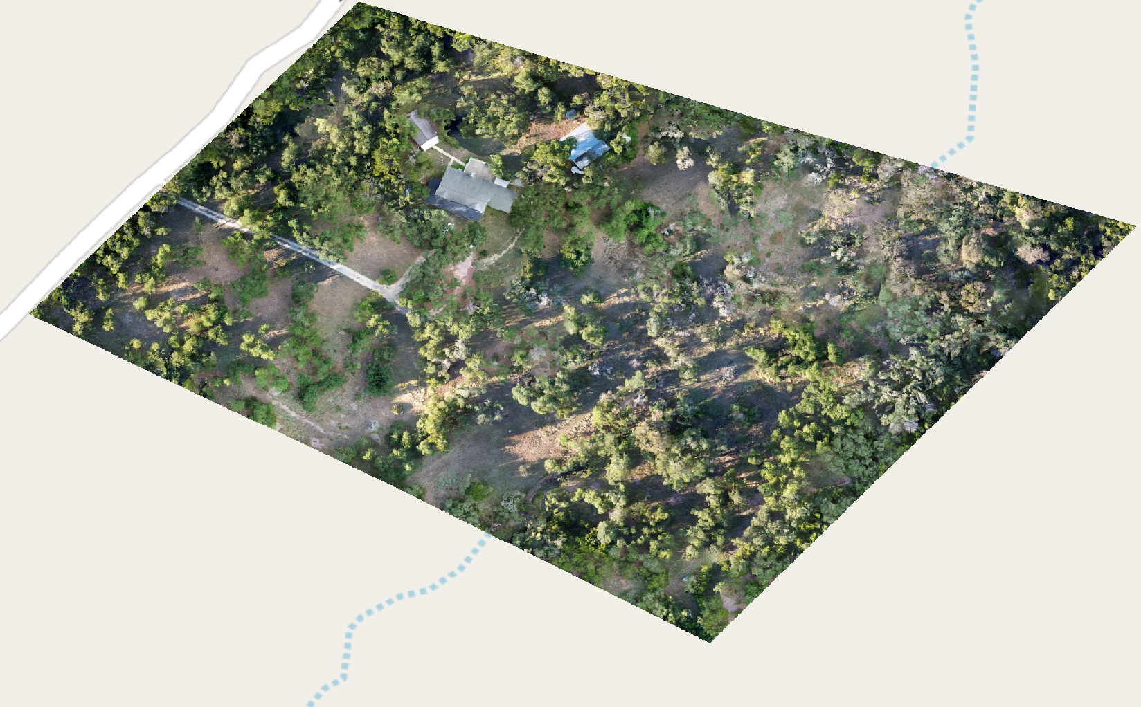
UAS Orthomosaic
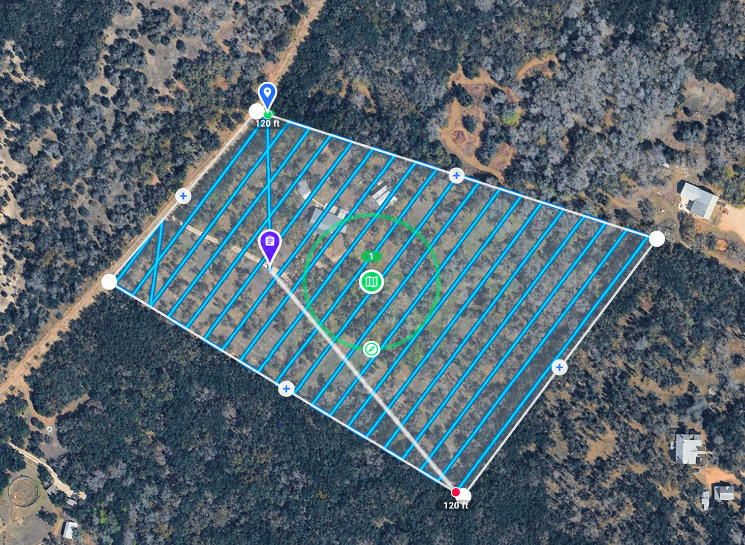
Develop an automatic flight plan, fly the property and collect overlapping photographs for photogrammetric processing. Build a high-definition orthomosaic (1cm = 1px), provisionally anchored to the coarse field observations, and preserve this version for later comparison.
STAGE 03 / SURVEY-LEVEL PRECISION
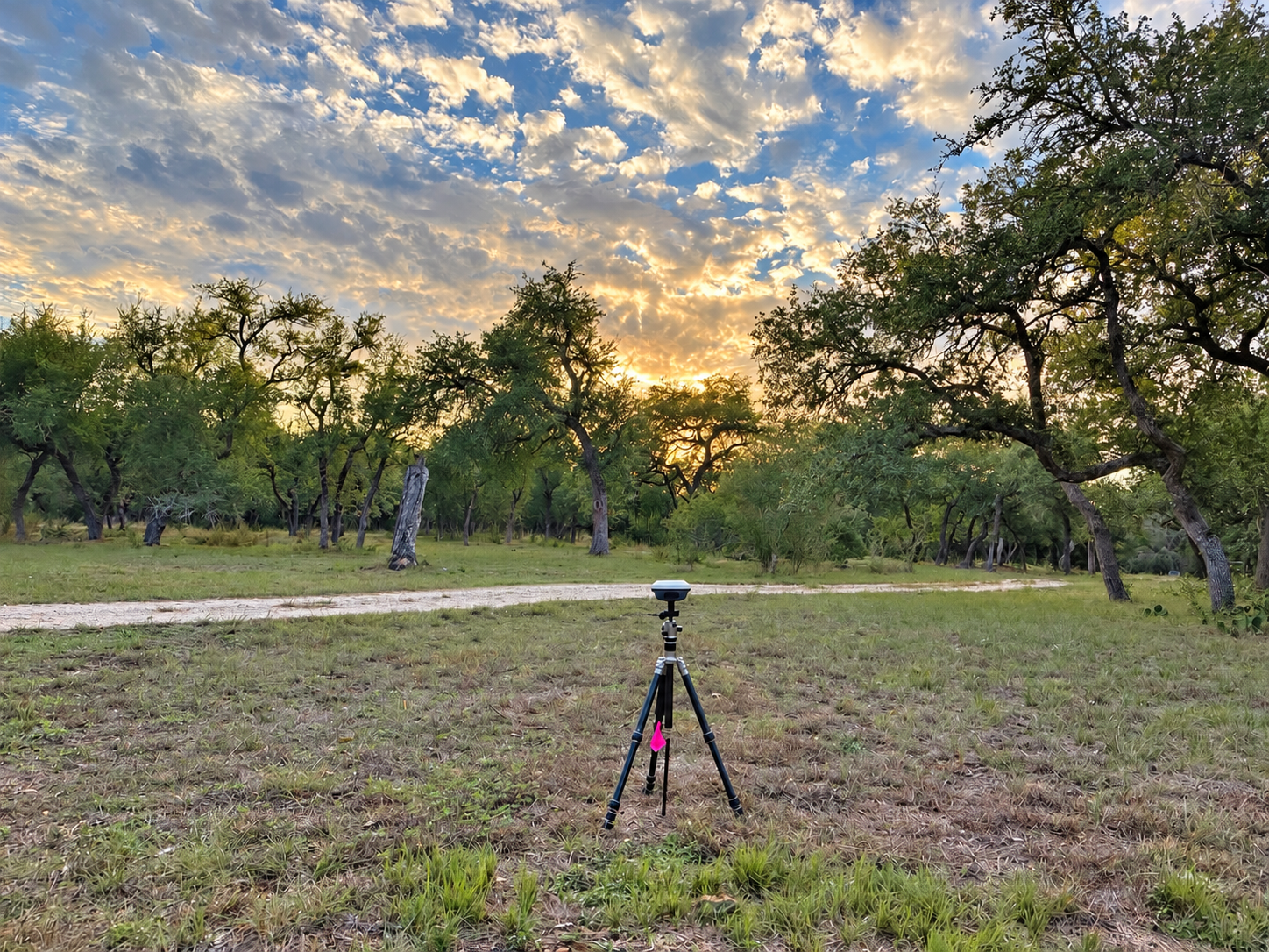
GNSS Base + RTK Rover
Return with a GNSS base station and RTK rover to remeasure the boundary monuments, ROW markers, and recorded features. Target approximately 8 cm accuracy, validating the results with repeat observations and documented positioning quality. Collect distributed ground control and independent checkpoints for the aerial imagery.
STAGE 04 / BACK-PROPAGATING CORRECTION
QA/QC
Compare the precision GNSS measurements against the handheld GPS layer, survey-derived geometry, feature inventory, and initial orthomosaic. Quantify offsets and residuals, correct the earlier products, and retain the originals. Show the improvement with before-and-after maps and displacement vectors.